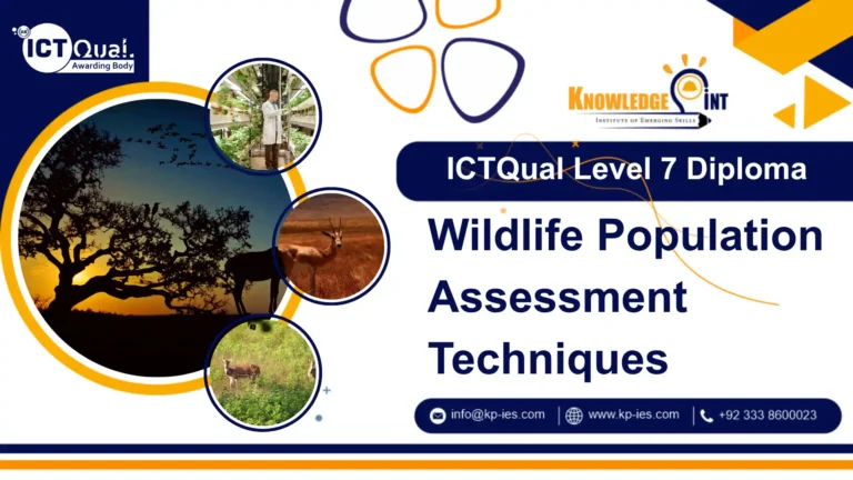
ICTQual Level 7 Diploma
GIS and Remote Sensing
Awarding Body
ICTQual AB
Duration
70 Credits
Course
Non OfQual
study mode
Online Learning
Course overview
The ICTQual Level 7 Diploma in GIS and Remote Sensing is an advanced qualification designed for professionals seeking to master geospatial technologies and their real-world applications. This course provides in-depth knowledge of Geographic Information Systems (GIS) and remote sensing, focusing on advanced spatial analysis, data modeling, and the integration of satellite and aerial data for informed decision-making.
Throughout the program, learners will explore complex topics such as geospatial data management, image interpretation, spatial statistics, and the use of industry-standard GIS software. The course also covers applications in urban planning, environmental monitoring, disaster risk management, agriculture, and infrastructure development, equipping students with the expertise to solve modern spatial challenges.
Ideal for graduates and professionals in geography, environmental science, engineering, and related disciplines, this Level 7 diploma enhances career prospects in both public and private sectors. The curriculum emphasizes analytical thinking, technical proficiency, and practical application to ensure learners are industry-ready.
Approved Training centre of ICTQual AB
Centre # : ATC24001

Entry Requirments
Entry Requirements for the ICTQual Level 7 Diploma in GIS and Remote Sensing:
- Educational Qualifications: A Level 6 qualification (or equivalent) in geography, environmental science, GIS, engineering, or a related field
- Professional Experience: Relevant work experience in GIS, mapping, surveying, environmental management, or related sectors (preferred).
- English Language Proficiency:Since the program is delivered in English, learners must show competence in reading, writing, and communication.
Course structure
This qualification, the ICTQual Level 7 Diploma in GIS and Remote Sensing, consists of 6 mandatory units.